Bicycle infrastructure map (Bydgoszcz)
Route 1:
On the Old Bydgoszcz Canal
Time: 1 hour, distance: 3.5 km
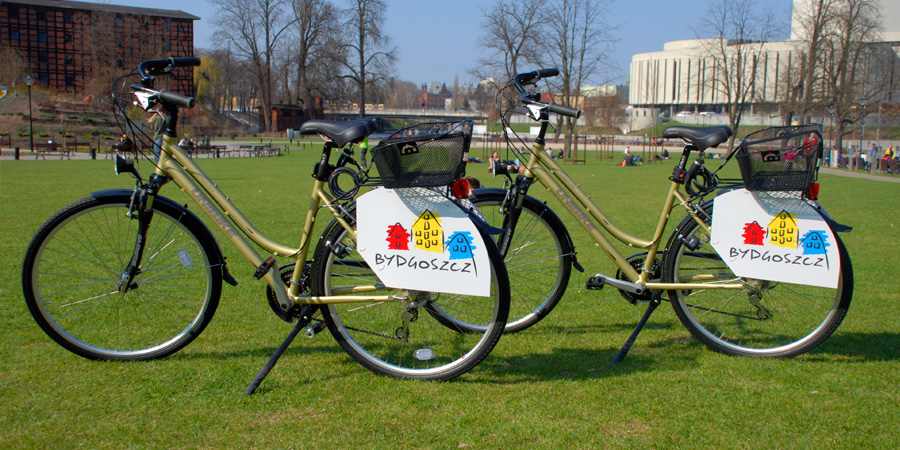
We start our tour in the Old Market Square, at the Bydgoszcz Information Centre, where we can hire a bicycle. We head to the Mill Island by Niedźwiedzia Street.
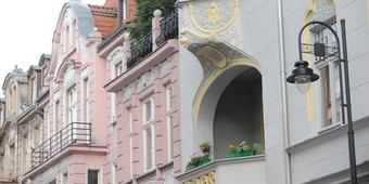
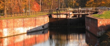
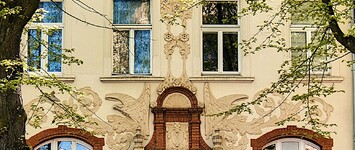
It’s worth taking a look at a simple baroque tenement house at number 11, which used to house the pharmacy Pod Niedźwiedziem. Ku Młynom Street takes us to a 6-hectare island, situated in the middle of the city. The first building that should draw our attention is the Red Granary dating from 1861, formerly a steam-powered mill, now one of the buildings of the Leon Wyczółkowski District Museum. We leave this old industrial facility on the right side and go further alongside the River Młynówka, a rapidly flowing tributary of the River Brda. A plethora of 19th-century tenement houses and old factories that practically emerge from the water create a place known as Bydgoszcz Venice. Walking under the shade of expansive chestnut trees, we reach the footbridge over the Młynówka, which takes us straight to Świętej Trójcy Street. Here, we are welcomed by a modernist tenement house dating from the 1930’s, at number 5/5a, designed by architect Jan Kossowski. We turn right and following Świętej Trójcy Street we head for the Grunwaldzkie Roundabout. One of the attractions en route is the Holy Trinity Church, featuring modernist architecture and a neo-baroque interior, built in 1910-1912 and designed by Poznań architect Roger Sławski. Across from the church, at number 23, there is a very unique tenement house featuring interesting Art Nouveau ornaments, built in 1903. Murals made by Brunon Gęstwicki (1882-1969) can be seen inside. At the end of the street, our attention is focused on the building of the old Royal-Prussian School of Crafts and Art Industry dating from the early 20th century. These days, it serves as the premises of the Complex of Mechanical Schools no. 1. Now, we walk across Kruszwicka Street, towards a shopping centre, from which we head north to the Old Bydgoszcz Canal (1773-1774). On the other side of the roundabout, we turn left and walk alongside a little stream, which is a reminder of a section of the Old Canal that was backfilled in 1971. On the right side, we pass the Starofarny Cemetery, the oldest necropolis in Bydgoszcz. We cut through Wrocławska Street, passing the historical lock IV and continue our trip alongside the canal. We are surrounded by lush greenery, featuring expansive trees, some of which are designated as national natural landmarks, dating back to the times of Napoleon Bonaparte. At a section between lock IV and lock V we pass near the Museum of the Bydgoszcz Canal, housed in a 19th-century utility building at 3 Nowogrodzka Street. Continuing straight, we go past the historical lock V, going under the railway tracks (Bydgoszcz – Inowrocław line) and reach the buildings of the oldest sports club in the city, Gwiazda Bydgoszcz. We end our canal sightseeing trip on the site where Józefa Bronikowskiego Street crosses the canal, more precisely at lock VI. From here, we can turn back and return to the city centre on the other side of the Canal or continue our sightseeing taking Route II.
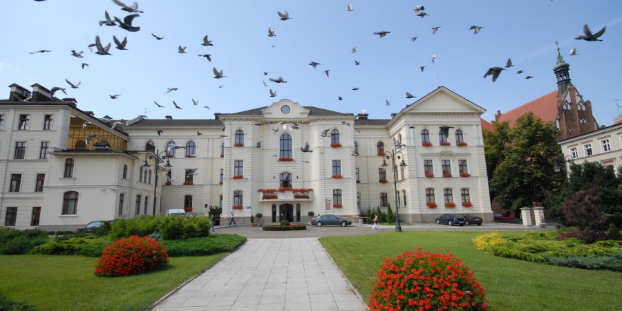
Old Market Square / City Hall, Bydgoszcz, fot. R.Sawicki
Did you know that …
There are many historical graves in the Starofarny Cemetery, including graves of French soldiers who died during the Franco-Prussian War of 1870 – 1871, the grave of the distinguished Bydgoszcz citizen
Teofil Magdziński and a cemetery chapel commemorating residents of the city who were killed in 1939. The oldest preserved tombstone dates from 1864. Many prominent residents of the city are buried here.
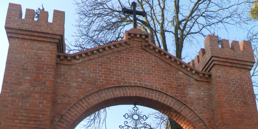
Starofarny Cemetery, Bydgoszcz, fot. bci
Route II:
Old Bydgoszcz Canal – Smukała – Myślęcinek – Old Town
Time: 4 hours, distance: 26 km
Going past the Bydgoszcz Canal and stopping by in the proximity of the sports club and lock VI, on the site occupied by “Gwiazda” Marina, we turn right to Bronikowskiego Street, which will lead us to the Western Junction, more precisely to Grunwaldzka Street. We cross this busy thoroughfare with suitable caution and turn into Nad Torem Street. At the first traffic light we enter the pavement, where we find a bike path. We continue our trip along Nad Torem Street all the way to the end of the bike path. We go further by a pedestrian-biking trail along Koronowska Street to the crossing with Opławiec Street. We turn into this street, which will lead us to Biwakowa Street. En route, we pass the Smukała Dam with a hydroelectric power station and the Second World War cemetery, at number 160, dedicated to the victims of the resettlement camp and re-education. At the crossing of Opławiec and Biwakowa Streets, on the River Brda, an unusual monument with paddles has been erected. The kayak along with the paddles protruding from it commemorates the 1953 and 1966 trips on the River Brda taken by Father Karol Wojtyła, later Pope John Paul II. We turn right to Biwakowa Street and enter Smukalski Bridge. It offers a view of the beautiful scenery created by the waters of the River Brda. We pass the bus terminal and turn right to Smukalska Street. We travel a long stretch of the road surrounded by woods. At number 113 we suggest turning right in order to see the Shrine of the Mother Thrice Admirable, one of the six Shrines of Entrustment to the Schoenstatt Movement in Poland (dedicated in 2001). We return to Smukalska Street, in order to turn left after several minutes, into a fire escape route, number 16. It will lead us to “Myślęcinek” Forest Park of Culture and Recreation, the biggest municipal park in Poland (830 hectares). Going straight through the forest we reach Rekreacyjna Street, merging into it on the bend of the road, in the immediate proximity of the PKP Bydgoszcz Rynkowo railway station. We get off the bike and carry it across the footbridge (access to the footbridge is rather steep). We go through Jeździecka Street and turn right to the forest at its first bend. We go straight to the lookout tower, which we pass and turn right. Going through a ravine, we go down to one of several ponds of Myślęcinek. Near the lake, close to which there is a little spring popular among the locals, we turn right towards the Kujawsko-Pomorskie Ecological Education Centre in Myślęcinek. We continue our trip by a paved section of the road to the first intersection, where we take a right turn to Hipiczna Street, which will lead us to the Różopole common. We turn left, going past it on the right side. We go straight to Gdańska Street, passing on the left the Myślęcinek Zoo and allotment gardens. This place is a great opportunity to use Route III and go to Fordon or further to Ostromecko. Another option is to take a bike path running alongside Gdańska Street, which will take us back to the city centre. On the left side we go past the historical buildings of “Las Gdański” waterworks station, which features the Museum of Waterworks. We go across an overpass over the railway tracks and pass on the right the Zdzisław Krzyszkowiak Zawisza Stadium, then we turn right to Powstańców Warszawy Street. This leads us to the railway tracks. At the end of the street, we take the left turn and continue our trip first by a bike path alongside the Nowofarny Cemetery, and further – by Zaświat and Zygmunta Augusta Streets. We go past the buildings of Bydgoszcz Główna railway station, accessing Unii Lubelskiej Street. We cross the street and then turn right, entering the boulevard running alongside the River Brda.
Before we turn left, we can take a look at the opposite site, which features three railway bridges. The nearest one – the eastern bridge – is one of the oldest railway bridges in Poland (1851). Going along the boulevard, we go across the Królowej Jadwigi road bridge, which was built in 1913. We pass the monumental building of the former Eastern Railways Authority, built in 1886-1889 in the style of Netherlandish mannerism. Now, we enter the Władysława Jagiełły tram bridge (the first suspended tram bridge in Poland, 2011-2012), which takes us across the River Brda. We follow the route alongside the tram tracks. At the crossing with Garbary Street, we can notice the beautifully restored façade of the corner tenement house, built in the castellated style in the early 20th century. We continue to go straight to Marszałka Focha Street, where we take the left turn toward Solidarności Bridges, which offer a great view of the Municipal Lock dating from 1915. In its proximity, we find a unique, older trapezoidal lock dating from 1884, which was unveiled recently. On the pedestrian crossing, we take our bike across the street, where we can go for a ride around the building of the Opera Nova. Finally, we go across the footbridge to Mill Island, from which we return to the Old Market Square. We end our trip in the same place as we started.

Old Bydgoszcz Canal, fot. R.Sawicki
Route III:
Old Canal – Smukała – Myślęcinek – Fordon – Ostromecko
Time: all day, distance: 37 km + return about 14 km
This is an extension of routes I and II. When we reach Gdańska Street, we go further via a cycle route trail alongside Sądecka Street, all the way to Armii Krajowej Avenue. At the pedestrian crossing in the area of Zamczysko Street, we go across this busy thoroughfare and continue our trip by a forest biking trail (red biking trail), which leads us to Akademicka Street in Fordon. We head east, first by Akademicka Street, followed by Korfantego Street (where we turn left) and later by Twardzickiego Street. At the crossing with Bołtucia Street we turn left, going past the Parish of Our Lady, Queen of Martyrs and enter the area of the Bydgoszcz Death Valley. This site served as a place for mass executions of Bydgoszcz residents carried out by the Germans in 1939. There are symbolic graves, a monument, and the Stations of the Cross of the Bydgoszcz Calvary – Golgotha of the 20th century, part of the Shrine of Our Lady, Queen of Martyrs. After making a loop in the Death Valley, we go back to Twardzickiego Street. Then we take Kleeberga Street, Andersena Street (where the trail runs parallel to the street), Sielska, Ametystowa and Flotylli Wiślanej Streets, reaching a crossing over the Vistula, the Rudolf Modrzejewski Fordon Bridge, which in the past (1893) was the longest bridge in the German Empire.
We recommend taking a quick exit to Bydgoska Street from the roundabout that is just before the bridge, which will take us to the Market Square in Old Fordon. These days, it is a district of Bydgoszcz, which until 1973 was a separate small town with a very long, multicultural history. Some of the most prominent historic sites of Old Fordon include a classicist building of an old synagogue dating from the late 18th century, which miraculously survived the German occupation (the Nazis turned it into a cinema, which was going until 1988), the neo-gothic Church of St John, Apostle and Evangelist dating from 1878-1879, and the neo-baroque Church of St Nicholas dating from 1927-1928 (designed by Stefan Cybichowski). In the Market Square of Old Fordon, our attention is focused on a group of buildings of the Penitentiary Prison for men, whose origins date back to 1859. The oldest of the buildings, erected in 1780-1783 (pavilion II of the prison), served as an old Prussian customs house.
After a brief stop in Old Fordon, we go back to the bridge and after crossing the Vistula we take the bike down a flight of stairs, which can be found on the left side, behind the last span of the bridge. Taking the asphalt road (right turn) we head towards Strzyżawa, continuing our trip by a forest biking trail on the left side, alongside regional road no. 551.
We enter the parking lot of Ostromecko Palace and Park in 9 Bydgoska Street by taking a left turn from the regional road, several metres before entering the town of Ostromecko.
We return to Bydgoszcz by the same route, all the way to “Myślęcinek”. We continue our trip back by the route marked as Option II. We can also go back to Bydgoszcz by train from the railway station in Ostromecko.
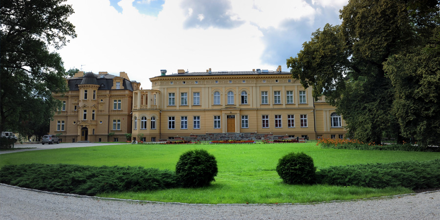
Ostromecko Palace. fot. R.Sawicki


